In partnership with Google Maps, ConstructionOnline introduces the ability for users to capture aerial photographs which can be saved to Project Files & Photos or used to create New Redline Drawings. The photographs are captured and processed at the highest possible resolution, delivering crystal clear aerial images.
Users will see options to Import from Google Maps when adding new Redline Drawings, however options to capture & import images from Google Maps can also be found in the New File, Photo, or Upload menus within ConstructionOnline.
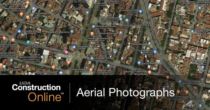
Aerial photography is an important element in project documentation, and with ConstructionOnline’s Google Maps Capture & Import feature, users are able to harness the combined technology of ConstructionOnline & Google to get the bird’s-eye view.

.png?width=230&name=uda_renew_logo%20(1).png)


